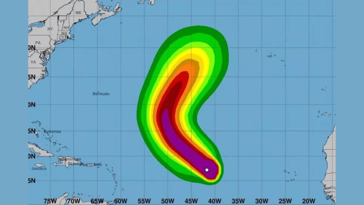
The Met Office has issued a warning about the potential impact of Hurricane Kirk on the UK, forecasting heavy rain and strong winds as the storm moves across the Atlantic. According to reports, currently a Category 3 hurricane with winds reaching up to 125 mph, Kirk is expected to strengthen in the coming days before gradually turning northwest. While it isn’t on a direct collision course with the UK, the storm’s remnants may still influence weather patterns, leading to possible unsettled conditions next week.
The Independent cited Meteorologist Tony Wisson explaining the complexities involved in forecasting the hurricane’s transition into a lower pressure system as it approaches cooler waters. He said, “There are complex processes involved when a hurricane undergoes what is known as ‘extra tropical transition.’ This results in a lot of variability in the forecast, which means that predictability is low at longer lead times. Therefore, confidence in any one scenario is very low.” The Met Office suggests that by midweek, Kirk’s remnants could bring significant rainfall and strong winds to the UK.
While the exact trajectory remains uncertain, the Met Office has outlined a few potential scenarios. One possibility indicates that the low-pressure system may approach or even cross the UK by Wednesday or Thursday, resulting in “heavy rain and strong winds in places.” Conversely, there’s a chance the system could remain further west in the mid-Atlantic, sparing the UK from severe weather.
Despite the long journey across the Atlantic likely weakening Hurricane Kirk, Tony Wisson highlighted that it could still deliver notable impacts upon its arrival. He said, “This would lead to heavy rain and strong winds in places. Other possibilities are also apparent, but we need to wait until we have more information to determine which scenario will win out.”
Residents are being advised to prepare for possible wet and windy conditions, with thunderstorms predicted in Gloucestershire next Tuesday, 8th October. Flood alerts are currently in effect, especially along the River Severn in Gloucestershire, as several roads remain closed due to recent flooding.
In the meantime, a high-pressure system in the north is expected to bring periods of stable, dry weather, allowing for some sunshine across Scotland and Northern Ireland before moving south into England and Wales. As the situation develops, the Met Office will continue to monitor the storm and provide updates on its potential effects on the UK.


Leave a Reply